🏝️Mt. Matalim & Makulapnit Lake Camping Area
Famous forUpland camping grounds around Brgy. Makulapnit, Santa Cruz: a 10-hectare grassy slope on Mt. Matalim with island views, and forested campsites by the Makulapnit man-made lake.
About this place
A quick note from us first: the Mt. Matalim camping area doesn't have a Google Maps listing, and while the Makulapnit lake is on Google, it has no visitor reviews or photos there yet. So we haven't been able to verify this one the way we do most places on this guide. What's below comes from the Provincial Government of Marinduque's own tourism listings and from local campers. Please ask around in Brgy. Makulapnit before you head up, and tell us what you find so we can improve this page.
Up in the Santa Cruz highlands
In the uplands of Santa Cruz around Brgy. Makulapnit, the provincial tourism office lists two spots as camping grounds — and they're the kind overlanders and 4×4 groups go looking for.
Mt. Matalim camping area
On the north slopes of Mt. Matalim there's an open, grassy area of around 10 hectares. The province says it offers a wide view of Polo, Mompong and Maniwaya islands, Mt. Tapian and Mt. Paying-payong — and that it gets chilly up there because of the elevation. In 2020 it hosted the overland camping of the Jeep Club Philippines, with 60 4×4 units camped on the slope. Locals gather here too: photos from an April 2024 prayer gathering show vehicles parked along the ridge road and green, rolling hills all around.
Makulapnit Man-made Lake
Nearby, on the southern part of the Makulapnit man-made lake, the province describes newly discovered overlanding and camping grounds surrounded by thick forest. It's listed as an ideal family camping spot, with freshwater fishing, bird watching and stargazing.
Know the history of the water
The lake is a reservoir behind the Makulapnit dam, part of the old Marcopper mine system. In 2017 the Mines and Geosciences Bureau reported leaks in the abandoned dam and said the reservoir's water quality was unknown. Until there's a clear advisory, we'd enjoy the lake from the shore — skip swimming, and don't drink the water untreated. The old Marcopper mine pits in these uplands are off-limits private property, so stay out of them.
Good to know
There are no published fees, facilities or contact numbers for either site. Treat it as raw camping: bring everything in, carry everything out, and check in with the barangay or local guides in Makulapnit about access before you go.
Known For
Mt. Matalim & Makulapnit Lake Camping Area is known for Mt. Matalim, Mt Matalim camping, Makulapnit lake, Makulapnit man-made lake, camping Santa Cruz Marinduque, overlanding Marinduque, 4x4 camping Marinduque, Brgy. Makulapnit, and stargazing Marinduque.
Best Time to Visit
Go in the dry season, roughly November to May; the upland roads are no fun after heavy rain. Bring warm layers whenever you go, because the province itself says it gets chilly up there at night.
What to Bring
How to Get Here
Head to Brgy. Makulapnit in the Santa Cruz uplands and ask at the barangay for the way up to Mt. Matalim or down to the lake — there's no Google Maps pin for the Matalim camping area, so local directions are your best friend. The 4×4 groups that camp here drive up, so a high-clearance vehicle or a motorbike is the way to go, and it's best to travel with someone who knows the route.
Local routes, fares, and ferry schedules can shift without notice — and travel times depend on weather, traffic, and tide. Confirm fares and timing with the driver or locals before you set out.
Contact & Links
Local Verification
For questions about access, local advisories, or whether this place is currently operating, contact the local LGU before you go.
Places to stay in Santa Cruz
 Jethro Hotel and Resto9.2 km · 5.3/10 · Hotel & restaurantAgoda
 R Hotel Centro and Restaurant9.3 km · Hotel & restaurantAgoda
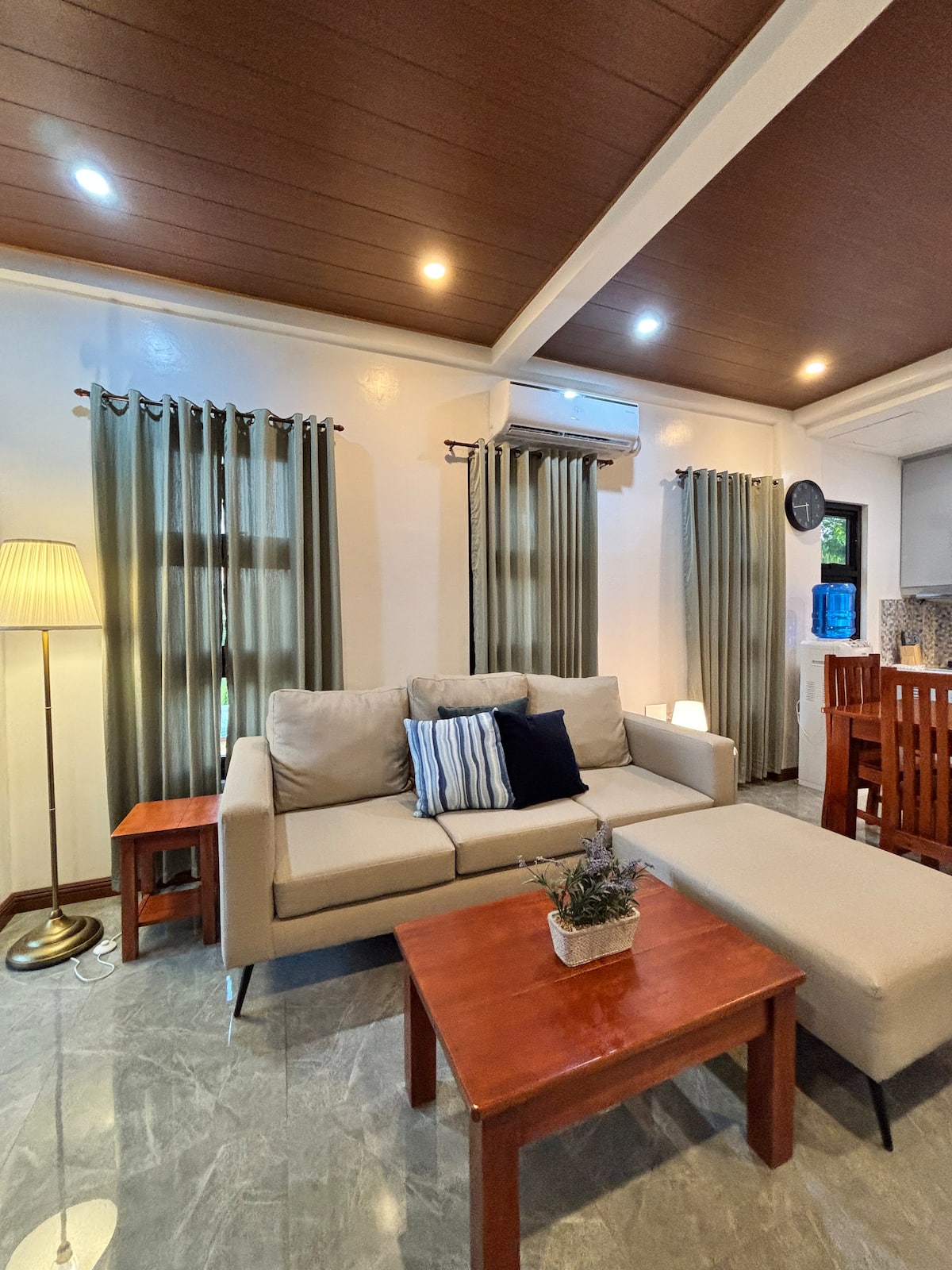 JCPM Apartment Suite10.1 km · ★ 5.00 · Entire rental unitAgoda
 Cavesera Residencia Farm and Resort12.5 km · Farm resortAgoda
Frequently Asked Questions about Mt. Matalim & Makulapnit Lake Camping Area
Has Marinduque Guide verified the Mt. Matalim camping area?
Not fully. The Mt. Matalim camping area isn't on Google Maps, so this page relies on the Provincial Government of Marinduque's tourism listings and local posts. Ask locally before you go.
Where is Mt. Matalim?
In the uplands around Brgy. Makulapnit, Santa Cruz, Marinduque. The camping area is on the mountain's north slopes.
What can you see from Mt. Matalim?
According to the provincial tourism office, Polo, Mompong and Maniwaya islands, Mt. Tapian and Mt. Paying-payong.
Can you swim in Makulapnit lake?
We'd skip it. The lake is a reservoir from the old Marcopper mine system, and in 2017 the Mines and Geosciences Bureau said its water quality was unknown. Don't drink it untreated either.
Are there facilities at the camping area?
None are published. Treat it as raw camping and bring all your own water, food and gear.
Do I need a 4×4?
A high-clearance vehicle or motorbike is strongly recommended — the area is known for hosting 4×4 overland camps.
Planning your trip?
Need a place to stay near Mt. Matalim & Makulapnit Lake Camping Area?
Book one of these vetted stays in Santa Cruz — beach houses, resorts and guesthouses, many bookable instantly on Agoda or Booking.com.