🏝️Luzon Datum of 1911
About this place
Of all the places in Marinduque that punch above their size, the Luzon Datum of 1911 might be the most quietly extraordinary. Perched on Mt. Mataas in Mogpog, this small landmark — also known as Station Balanacan — serves as the geodetic center of the Philippines, the single reference point from which every official land survey and map has been calculated for over a century.
What's On-Site
The Luzon Datum of 1911 marks the origin point for all land surveys and mapping in the country, established during the American colonial period and continuously used since. Beyond its role as a geodetic reference, it's also a hike: the trail to the summit runs up over 400 concrete steps with handrails, with rest areas along the way. The payoff is a genuinely panoramic view — one of the most expansive in Mogpog — that looks out across the surrounding landscape and, on clear days, across the strait.
Getting There
The site is reached from the Marinduque Circumferential Road. Most visitors coordinate with Ka Willy (+63 946 343 2989) or call +63 906 373 3299 ahead of a visit.
- Hours: Always accessible (no formal closing) - Fee: No entrance fee; donations suggested - Email: Luzon.datum98@yahoo.com - Website: luzondatumof1911.wixsite.com
Before You Hike
The 400+ steps are a real climb — not a stroll. Wear proper shoes, bring water, and budget for a slow-and-steady ascent with rest-stop pauses. If you're coming from the Port of Balanacan, it's a manageable detour, and many visitors combine a datum hike with a Balanacan Shrine stop on the same half-day itinerary.
Why It's Worth It
This isn't a beach-resort view or a colonial church — it's something rarer: a physical embodiment of how an entire country's maps came to exist. For history-minded travelers and hikers alike, the Luzon Datum is the kind of place that earns its spot on the map because it literally anchors the map itself.
Best Time to Visit
Start at first light to beat the heat. Dry months only — November through May. The trail is genuinely treacherous in rain; people have been hurt up there. Mornings clear early before the haze rolls in, so you also get the better summit views.
What to Bring
How to Get Here
From Balanacan Port or Mogpog Centro, hire a tricycle to Brgy. Hinanggayon. The marker sits at the summit of Mt. Mataas and is reached by a guided hike — arrange a local guide through the barangay hall before you start because the path isn't fully marked and there are spots where wrong turns add hours. The marker itself is the original 1911 geodetic survey point used as the origin for all Luzon mapping; don't damage or sit on it.
⚠️ Hiking time varies based on fitness level.
Local routes, fares, and ferry schedules can shift without notice — and travel times depend on weather, traffic, and tide. Confirm fares and timing with the driver or locals before you set out.
Contact & Links
Local Verification
For questions about access, local advisories, or whether this place is currently operating, contact the local LGU before you go.
Nearest places to stay
Closest to Mogpog — in Boac
 Nine Balconies Island Stay9.1/10 · Boutique hotel / inn
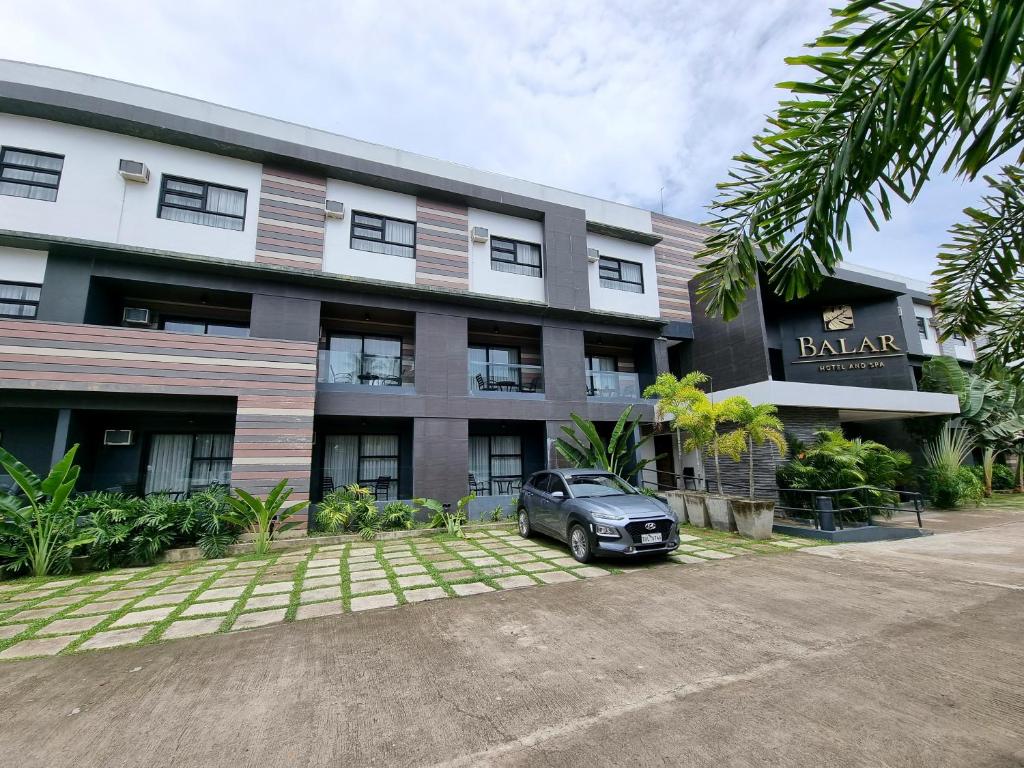 Balar Hotel and Spa8.5/10 · Hotel and spa
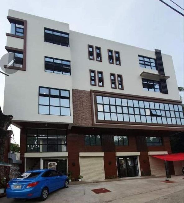 Hotel Marinduque8.0/10 · Hotel
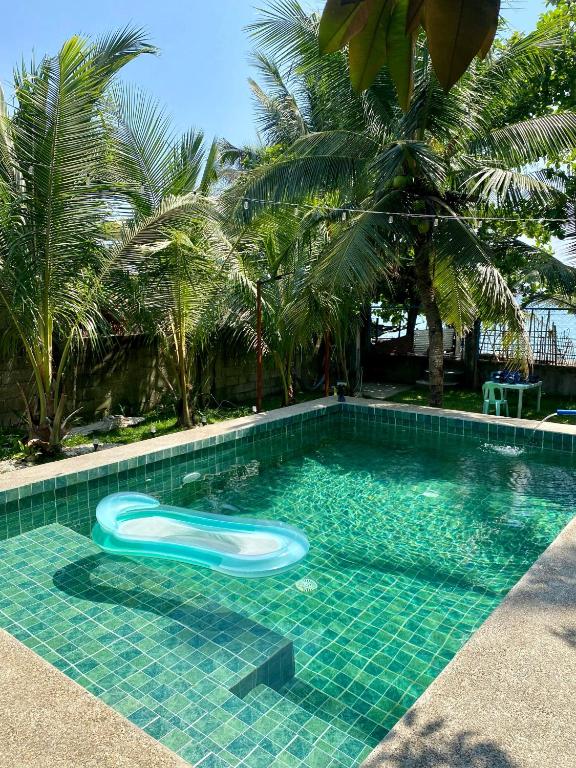 Seaside Casita at Boac, Marinduque8.0/10 · Entire tiny home / beachfront guest house
From Facebook
Planning your trip?
Need a place to stay near Luzon Datum of 1911?
Mogpog has no listed stays yet — here are the nearest, just over in Boac, each with direct booking links.